| You need to be logged into the wiki to be able to edit! To login or join the wiki, click here. |
File:War-nation-grid-map.jpg
From Kiwiki
Size of this preview: 800 × 397 pixels. Other resolution: 958 × 475 pixels.
Original file (958 × 475 pixels, file size: 195 KB, MIME type: image/jpeg)
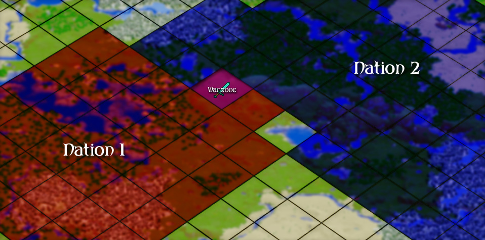
A map of how the worldblock grid works in Territories
File history
Click on a date/time to view the file as it appeared at that time.
| Date/Time | Thumbnail | Dimensions | User | Comment | |
|---|---|---|---|---|---|
| current | 14:27, 29 June 2012 | | 958 × 475 (195 KB) | Yottabyte (talk | contribs) | A map of how the worldblock grid works in Territories |
File usage
The following page links to this file: